
Opelika Neighbors by Block
No official Opelika source publishes a full list of everyone on an Opelika block. The useful public layers document Opelika parcels, assessed owners, city jurisdiction, public voter fields available through an ordered extract, permit activity, and community contacts. Each Opelika layer has a narrow purpose. A reliable neighbors search records what the source says and leaves occupants, minors, protected people, private association lists, utility customers, and delivery data outside the inference.
| Source | What It Shows About a Block | Access |
|---|---|---|
| Lee Flagship GIS | Opelika parcel shapes, assessed owners, values, exemptions, aerial and neighborhood context | Free map browsing |
| Opelika municipal GIS | Parcels, city limits, wards, use zones, historic districts, flood and service layers | Free map service |
| Lee Probate | Opelika recorded parties, legal descriptions, plats, and prior ownership | Terminal, counter, or mail |
| City permits | Opelika addressed projects, inspections, responsible parties, and comments | Free portal or request |
| Ordered voter file | Selected Opelika residence, registration, status, and precinct fields | Quoted statutory order |
| Watch and liaisons | Public Opelika organizing contacts and ward-level civic help | Public contact channel, no roster |
Opelika property data is the main open browsing layer for nearby owners. An Opelika owner name is not a resident name, though. A matching Opelika owner mailing address, situs address, and homestead exemption can support an owner-occupancy hypothesis, but still cannot list a household. VoterView is an individual self-check. Community groups offer ways to join or ask about a civic issue, not ways to inspect private membership.
Mapping Opelika Neighbor Parcels
The Lee County Flagship GIS supports a reproducible Opelika adjacent-parcel method. The Opelika research found zoom, pan, parcel selection, street results, aerials, neighborhood and sales layers, but no verified radius or buffer tool. Claims such as “within 500 feet” should therefore be avoided. Immediate boundary-sharing and across-street lots can be checked by clicking them one at a time.
- Search the Opelika target address in the county property system. Record the PPIN, parcel key, situs address, owner, and search date.
- Open Map It and zoom until Opelika parcel lines appear. Confirm that the selected polygon matches the target address.
- Click each Opelika parcel that shares a boundary, then the parcels directly across the street. Record only the public parcel facts needed.
- Compare the county result with the Opelika municipal GIS for city limits, ward, use zone, historic district, flood, school, and utility context.
- For more than the immediate block, move to the Opelika street directory workflow instead of stretching a neighbor map into a whole-street roster.
The Opelika city map and county appraisal map answer related but different questions. A nearby parcel may carry an Opelika mailing address yet sit outside the incorporated city. That Opelika-labeled lot remains in Lee County assessment and Probate records but may not use Opelika permits or municipal services. Establishing jurisdiction before checking other records prevents a postal label from becoming a false civic claim.
Reading Opelika Neighbor Owner Records
The Lee CAMA roll separates the physical Opelika address, or situs, from the owner's correspondence address. A difference in Opelika may reflect many situations, including a business, estate, vacant parcel, inherited land, or owner who receives mail elsewhere. It proves none of them. The annual Opelika assessment can also lag a midyear sale because tax follows title as of October 1. Save the deed book, page, and date when a title check matters.
An Opelika parcel card can expose owner name, situs and mailing fields, PPIN, parcel key, acreage, assessed values, district, subdivision, exemption, deed and plat references, and section-township-range. It has no household or occupant field. If the Opelika block has a Lee Road address, the property search expects a four-digit road number and “Rd” without a period. That small local quirk can turn a failed Opelika neighbor search into a useful parcel result.
- Parcel
- A mapped unit of Opelika land identified by the county for assessment and record links.
- Situs address
- The physical Opelika location used on the tax roll, distinct from the owner's mailing address.
- PPIN
- The property identification number that provides a steadier key than a name alone.
- Plat
- A recorded map of lots, blocks, easements, and other subdivision details.
Note: Copying an Opelika owner row without its PPIN, parcel key, and search date makes later checks less reliable as assessment data changes.
Opelika Neighbor Voter Boundaries
Alabama VoterView requires first name, last name, date of birth, and a challenge response. It confirms one Opelika registrant's status, ballot status, and polling place. It cannot enumerate an Opelika block or a ZIP code. Entering guesses about nearby people is not a valid substitute for the statutory voter-file process.
A separate Secretary of State request under Ala. Code §17-4-38 can select an Opelika, Lee County, or district scope and public fields. Available choices for Opelika include full name, status, residence, mailing address and phone when available, registration date, participation, and several district fields. The requester can ask for active, inactive, or both records, choose paper or electronic output, and request an alternate sort. The office quotes a price before payment.
For an Opelika voter, participation means that the person took part in an election. It never reveals the Opelika voter's ballot choice, and Alabama has no party registration. Protected information should not be exposed, republished, or combined into a public people roster. For ordinary block curiosity, the parcel map is the open browse layer. The ordered file is a distinct legal channel with a narrower and more sensitive purpose.
Opelika Neighbor Civic Contacts
The Opelika Neighborhood Watch program offers Start, Join, Block Captain, and Host choices. Its Opelika topics include traffic, lighting, vandalism, break-ins, burglaries, and suspicious activity. Police ask for contact about three weeks before a planned meeting. North Opelika tour material documents a ten-block activity, not who lives in each home. First Baptist and other archival civic rolls can support historical family work, but they are not current directories. Public contacts are useful; private membership stays private.
Neighborhood Watch
Use the Opelika city program to start or join a block effort, volunteer as captain, or host a meeting. Participant details remain private.
Community Liaisons
Opelika publishes ward liaisons for civic meetings and public contact. They represent community links, not household membership.
District and Association Contacts
Opelika historic-district maps add place context, while The Estates HOA publishes officers and notices but keeps its subscriber email list private.
Opelika Districts Shape Neighbor Blocks
Opelika block context crosses several kinds of geography. The city uses five wards, and the named Carver, Jeter, Northside, Pepperell, and eastern growth areas do not follow postal logic. Historic districts add another layer. County tax District, school and service areas, floodplain, utilities, city limits, and the postal city may all differ at one address.
This matters most near the edge of town. ZIP 36804 covers southern and eastern Opelika delivery plus broad rural Lee County. An “Opelika” mailing line there does not establish city jurisdiction. Open the parcel, read the tax District, and turn on the City Limits layer. Ward or city-permit claims should wait until the map confirms incorporation.
Opelika street form can also add historical context. Pepperell's 1925 grid differs from its 1930s curved garden-suburb streets. Northside spans the late nineteenth through mid-twentieth centuries, while Geneva's growth is chiefly from the 1890s through 1920s. Those Opelika patterns can guide maps, deeds, plats, and permits, but they do not identify current people on a block.
Official Opelika Neighbor Sources
Official Opelika rolls and commercial neighbor tools should never be treated as equals. The official source has a named custodian and a defined record purpose. A commercial tool may combine filings, old addresses, and purchased data, then merge people who share a name. Its output can be a lead, but the source office must verify any fact used in serious personal research.
| Source Type | Useful For | Main Limit |
|---|---|---|
| County parcel roll | Assessed owner, parcel, mailing and situs facts | Owner is not the same as occupant |
| City map and permits | Jurisdiction, civic layers, dated work | No household roster |
| Ordered voter extract | Selected public registration fields | Regulated order, protected data, no ballot choice |
| Community organization | Public officers, events, ways to join | Private rosters and email lists stay private |
| Commercial compilation | Possible name or address lead | Stale, merged, or unsupported identity claims |
For an Opelika service provider who claims an Alabama credential, use the board that regulates the field. The official Alabama real estate license search is one example:
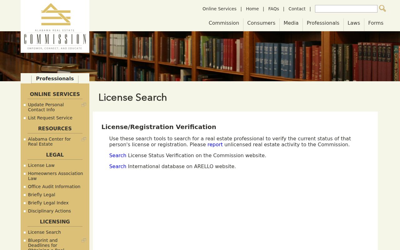
A license result can verify professional status. It does not verify an Opelika home, household, or relationship to the block.
Opelika Neighbor Scam Checks
Public Opelika names and addresses can be misused in urgent-looking solicitations. A deed-copy mailer may mimic an official notice and charge far more than Lee Probate. A caller may use an obituary to impersonate a relative, or invoke a court record while demanding gift cards, a wire, or cryptocurrency. Verify the claim through the published office number, not through the link, QR code, or callback number supplied in the demand. The Alabama Attorney General consumer complaint form provides a state reporting route:
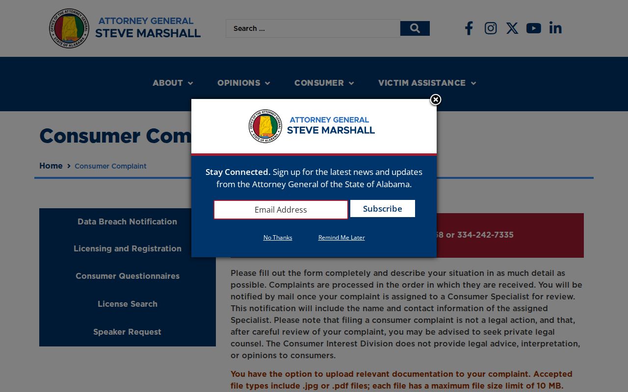
The form asks for the complainant, business, and transaction narrative, and it accepts supporting JPG or PDF files up to 10 MB. Save the message, envelope, receipt, and the independently verified contact information. The Attorney General's Consumer Interest Division also publishes official consumer-protection guidance:
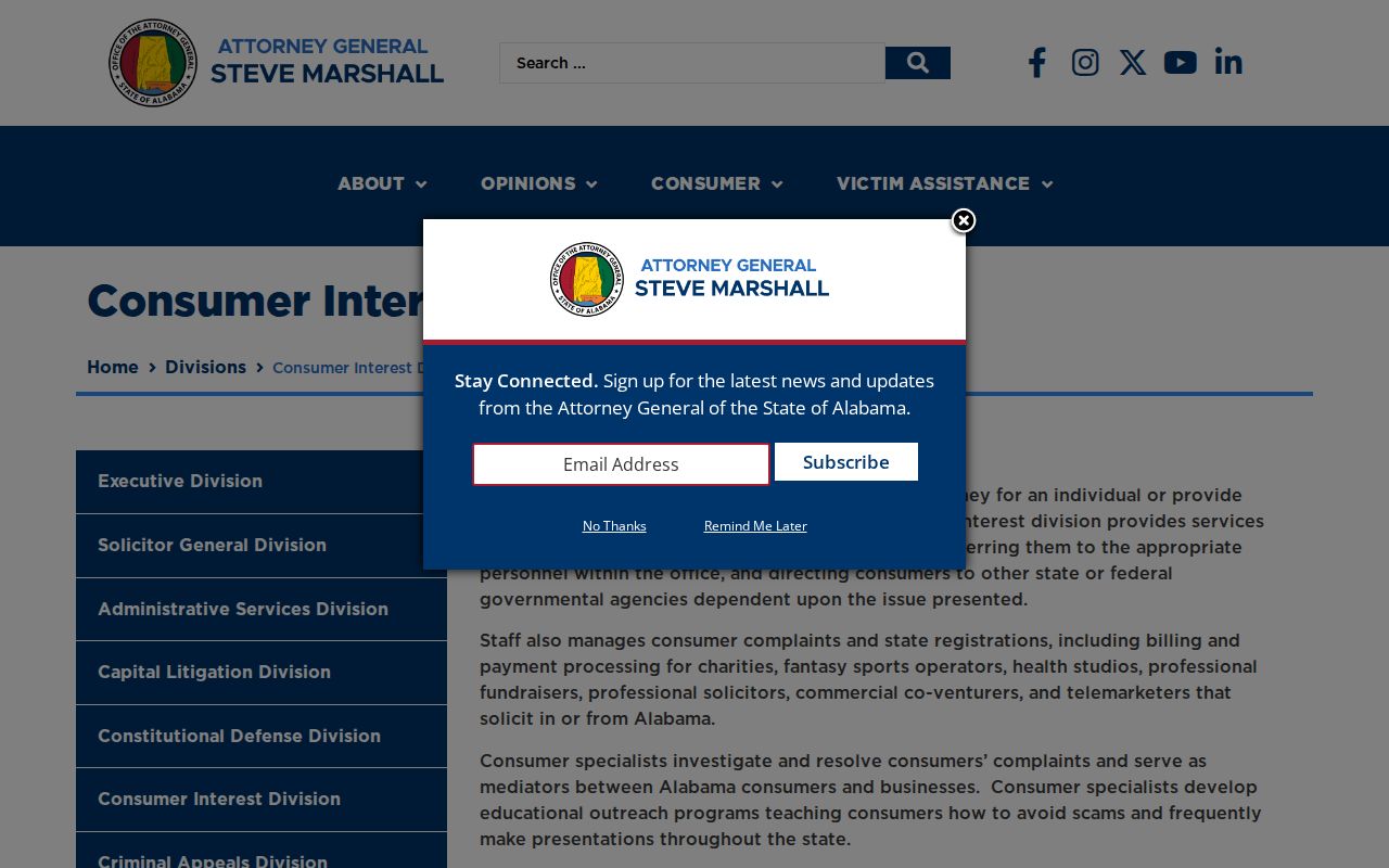
That official channel helps separate a real state process from a message that only borrows public Opelika details to seem credible.
Note: Alabama Treasury's unclaimed-property search and claim route are free, so a fee demand should be checked against the official program.
Privacy Limits for Opelika Neighbors
The Opelika parcel-map myth is simple: a polygon identifies assessed ownership, not everyone nearby. Opelika records do not publish a complete list of occupants, minors, utility users, deliveries, or private association members. A mismatch between situs and mailing addresses cannot be labeled as non-owner use, vacancy, or seasonal use without evidence. Historic-district inclusion describes property geography, not a resident's club or group membership.
Alabama protects Opelika information record by record. Court rules close sealed matters and specified juvenile, adoption, victim, shelter, child-location, and at-risk-party data. Voter information has its own public and protected split. Family-violence shelter locations are protected. The absence of a broad statewide substitute-address program does not make protected addresses fair game.
Use the least Opelika detail needed for the civic or personal task. A parcel ID and public owner may be enough to understand a boundary. A watch contact may be enough to raise a lighting concern. There is no sound reason to republish a block roster when no Opelika agency publishes one.
Lawful use. Use Opelika public records only for lawful civic and personal research. Never use them to watch, threaten, harass, intimidate, or harm anyone.