
Walk an Opelika Street
A useful Opelika street directory search moves from the exact place to the broad street. Begin with the Lee County assessment roll for Opelika because it accepts a physical number and street name. That Opelika record supplies the owner shown for tax purposes, the PPIN or parcel key, a situs address, a separate owner mailing address, values, acreage, district, subdivision, and deed or plat references. Situs means the physical place being taxed. It is not the same as a mailing destination, and either address can differ from where a person lives.
The next Opelika sources add context instead of repeating the tax card. A mapped parcel fixes the lot on the street. A deed verifies a transfer. An Opelika permit dates work at the Opelika address. An ordered voter extract may provide selected residence fields under Alabama law, but the public VoterView screen cannot browse a street.
- Enter PhyAddr # and St Name in the Lee CAMA form. Add District=Opelika to screen out places that use an Opelika mailing label but sit outside the city.
- Open Map It or the Flagship parcel map. Record the PPIN and click along the same named Opelika street without treating assessed owners as an occupant list.
- Copy the deed book, page, date, plat, subdivision, and legal identifiers. These are the bridge from the web record to the Probate Records Vault.
- Search Opelika permits by address and date. For a lawful voter-file project, use the state order form rather than trying to turn VoterView into a street browser.
- For an older Opelika snapshot, reverse the address in the 1923 Polk street guide or check the intermittent later directory years held by Alabama Archives.
Opelika Street Search Fields
The free Lee CAMA Basic Search is the most detailed starting form for an Opelika address. A whole Opelika street query can use St Name by itself, then District=Opelika. A single Opelika place query adds the physical number. The form returns no more than 1,000 rows, so a broad Opelika street directory search may need a district, subdivision, acreage, or value limit. Search results can be printed, mapped, or sent to Excel.
| Field | Input | Required | Opelika search use |
|---|---|---|---|
| PhyAddr # | Text, up to 5 characters | No | Limits the Opelika street directory to one physical number |
| St Name | Contains text, up to 20 characters | No | Returns one named Opelika street or a close text match |
| District | Dropdown | No | Select Opelika to test tax jurisdiction |
| Owner | Begins with or contains | No | Checks a known Opelika assessed owner after the address search |
| Pin / Parcel | Text or segmented range | No | Returns to a stable Opelika parcel after a name or street changes |
| Subdivsn | Dropdown | No | Groups lots by recorded Opelika subdivision rather than postal ZIP |
Opelika Lee Road entries have a local quirk: use a four-digit road number and type Rd without a period, such as Lee Rd 0023. The Info link can then expose the Opelika parcel card. Preserve the date of the Opelika search because the annual assessment roll changes and can lag a midyear transfer.
Map Opelika Streets by Parcel
The Lee County Flagship GIS parcel map turns Opelika street-directory rows into shapes. Search the target Opelika parcel, zoom until boundaries are clear, and pan along the Opelika street. The viewer offers aerial, neighborhood, sales, building, exemption, and value layers. It supports click-adjacent browsing, but no radius or buffer tool was verified. Claims such as “within 500 feet” should not be made from a visual guess.
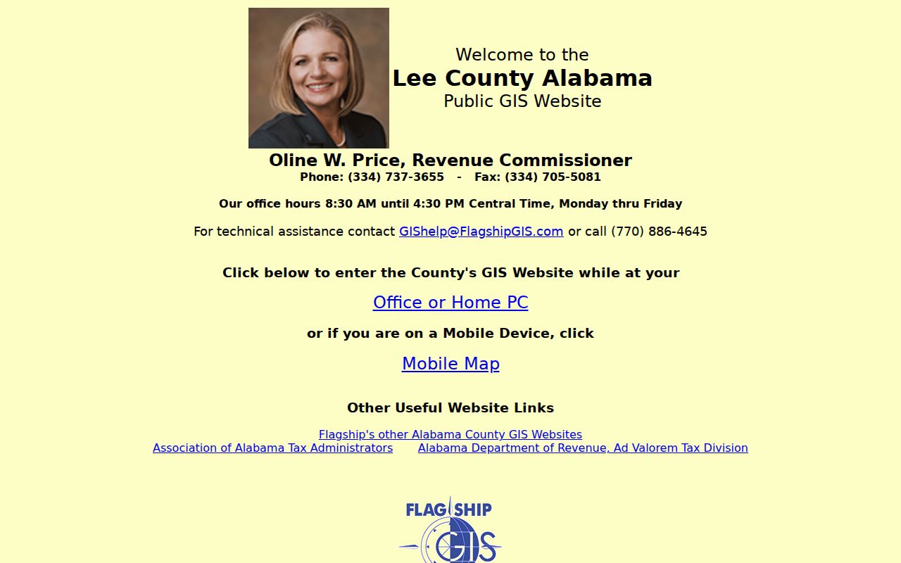
The map is strongest when each Opelika shape stays tied to its PPIN. It can show an Opelika assessed owner and parcel context, not every person at that place. Across-street lots may also sit in a different ward, historic area, or service layer despite sharing the same Opelika postal label.
Opelika Records Indexed by Address
No single roll acts as a complete Opelika street directory. The address is the common key, but custody and meaning change by source. Lee County keeps assessment and land-transfer evidence. Opelika keeps permits and municipal map layers. Alabama controls the voter-file order channel. Historic books provide dated householder snapshots rather than a current resident roll.
| Address record | Keeper | Street evidence | Access channel |
|---|---|---|---|
| Assessment roll | Lee Revenue Commissioner | Owner, situs, mail, PPIN, value, acreage, exemption | Free CAMA, Revenue at 334-737-3655, or defined request |
| Parcel geography | County Flagship / Opelika GIS | Parcel, ward, city limit, zoning, flood, historic context | Free viewers or Appraisal/Mapping at 334-737-3652 |
| Deed and plat | Lee Judge of Probate | Transfer parties and legal continuity | Courthouse terminal, staff help, mail copy, older cards and books |
| Permit and inspection | Opelika Building Inspection | Project address, responsible parties, comments, completion | Free portal, 334-705-5420, or NextRequest |
| Voter extract | Alabama Secretary of State | Selected residence, status, precinct, and participation fields | Quoted paper or electronic order under Ala. Code §17-4-38 |
| Address-first directory | Internet Archive / archives | Dated householder and nearby street entries | Free 1923 scan, OPL shelf check, or ADAH request |
The Opelika chain is address to parcel, parcel to deed reference, and deed party to earlier title. That chain establishes ownership more firmly than a name copied from one row. It still does not prove that the owner occupied the parcel on the search date.
Opelika Street Boundary Layers
The Opelika municipal map service answers a question the county tax roll cannot settle alone: which city layers apply to the address. Its public schema includes address and parcel fields, city limits, five wards, use zones, historic districts, floodplain, schools, streets, water, power territory, and the county boundary. Search by address or parcel, then compare the city line with the CAMA District result.
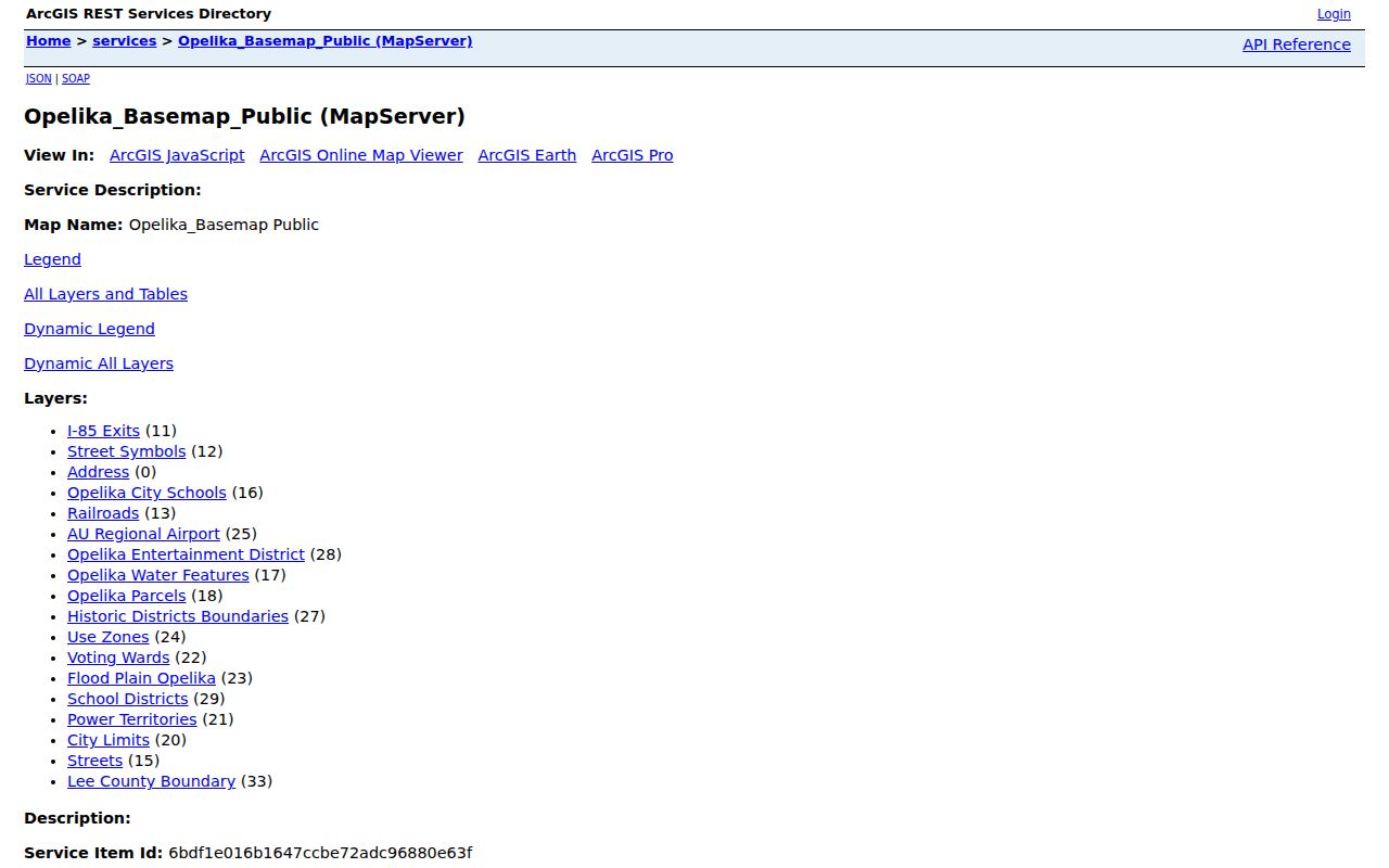
This geography matters most in 36804. An Opelika postal address may sit in unincorporated Lee County, so city permits or Municipal Court jurisdiction cannot be inferred from the mail label. Carver, Jeter, Northside, Pepperell, and newer eastern growth also cross postal logic. District and city-limit layers are better guides to government custody.
Decode Opelika Street Records
Opelika street records use compact land terms. Defining them keeps an Opelika directory search from turning one address into several false matches.
- Parcel
- A mapped unit of land tracked with a parcel number or PPIN. A parcel may split or merge even when a street label seems unchanged.
- Situs address
- The physical location being assessed. The owner mailing address is the place used for tax correspondence.
- Plat
- A recorded map of lots, blocks, streets, and easements. Its book and page can survive later street-name changes.
- Criss-cross directory
- An address-first book that reverses the usual name index. Opelika's 1923 street guide performs that role for a dated snapshot.
A matching Opelika situs and mailing address, plus a homestead exemption, strengthens an owner-occupancy theory but does not prove it. Lee County assesses Opelika title as of October 1, so a recent sale may also leave the former owner on the annual roll.
Carry Opelika Streets to Probate
The Opelika street directory reaches title evidence at the Lee County Judge of Probate Records Vault. There is no verified open-web grantor/grantee index. Opelika public terminals at 215 S. 9th St. carry an electronic index from July 1, 1986, while electronic images begin June 1, 1997. Earlier Opelika work moves to handwritten indexes and bound books. Staff can assist an in-person visitor by name, and mail copies work best when the request already gives book, page, and recording date.
The Revenue Commissioner's property-search instructions show why the online Opelika roll is the practical first stop.
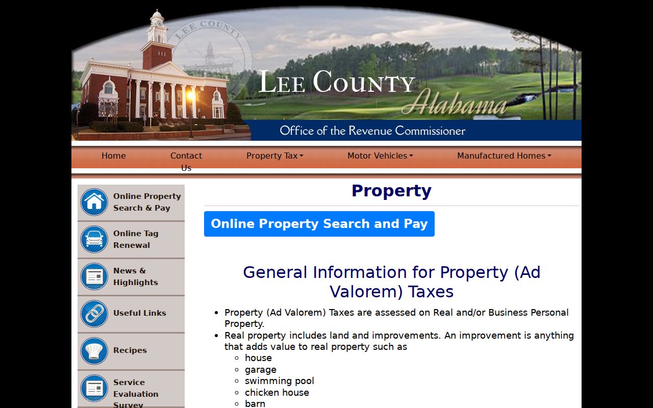
After finding the Opelika acquisition deed, extract the seller and legal description. Search that seller as a prior grantee, then repeat. For pre-1986 entries, verify a computer historical hint against the older handwritten card. A modern street name alone may fail where a plat, lot, block, or section-township-range succeeds.
Opelika Permits Add Dates
The Opelika Business Portal adds a non-title history to an Opelika address. Registration is not needed to search Opelika public records. Choose Inspection, open Advanced controls, use address and date criteria, then follow the linked inspection number. The checklist button opens comments. An Opelika file may contain a permit request, plan review, utility approvals, inspection tickets, red or green tags, final inspection, and a certificate of occupancy.
These Opelika records date construction, repair, and approval. They may name an owner, applicant, developer, contractor, or other responsible party. None of those roles proves a full household. If the portal fails or the needed year is outside its unknown online cutoff, call Building Inspection or file a focused Opelika NextRequest request for one address, record class, and date span.
Note: A permit date documents work at an Opelika address, not a sale date or the identity of every occupant.
Opelika Voter Street Limits
Alabama VoterView is a self-check that requires first name, last name, date of birth, and a CAPTCHA. It can confirm a registrant's status, ballot status, and polling location. It cannot enumerate an Opelika street. Entering an address alone will not create the street directory some users expect.
A separate Secretary of State voter-list form can order selected public fields for Opelika or another county, city, or district scope. Available choices include residence and mailing addresses, status, registration date, phone when available, precinct and other districts, plus participation fields. Participation never shows ballot choices. Delivery may be mail, email, or pickup, with paper, thumb drive, Excel, or tab-delimited output after a quote and payment. An alternate Opelika address sort can be requested. Use the narrowest lawful scope and do not publish protected details.
Historic Opelika Streets Reverse
The free 1923 R. L. Polk book has an Opelika Street and Avenue Guide that reverses an address to a householder and shows adjacent numbers and intersections. It is a true historic Opelika street-directory tool, but only a 1923 snapshot. The alphabetical part can then test initials, spouse notation, occupation, and residence. The book combines Opelika, Auburn, and Lafayette, so city headings matter when common names repeat.
Later verified volumes are intermittent: Opelika years from 1960 through 1982 and combined Opelika-Auburn years from 1984 through 1992 are listed in Alabama Archives boxes. Their publishers, completeness, and reverse sections are not all published. Ask the Opelika Public Library Genealogy Room to check city directories, telephone books, reverse books, and obituary indexes as separate formats. The collections themselves receive fuller treatment in the Opelika Directory Book.
Limits of Opelika Street Directories
A current Opelika street directory can show assessed owners, parcel facts, title parties, and dated project records. It cannot reveal a complete household. The public property roll has no field for renters or other occupants. Driver and vehicle address data is constrained by federal law. Utility accounts and private association lists are not open substitutes. A missing record can mean a format variation, a jurisdiction mismatch, a source cutoff, or lawful confidentiality rather than an absent person.
Use an Opelika parcel result as a lead, then verify the deed and keep the source date. For old Opelika addresses, retain the legal description. For one current person, change from a whole-street sweep to the narrower Opelika resident lookup workflow and require two independent identifiers before linking records.
Lawful use. Opelika street and address records support family history, property research, and civic questions. Never use them to stalk, harass, threaten, or expose a protected person.